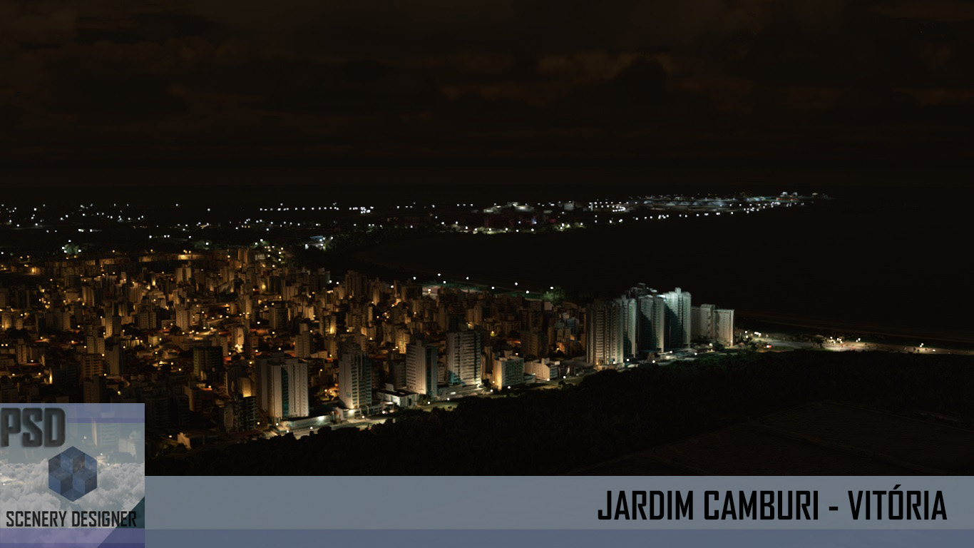
Recife é um município brasileiro, capital do estado de Pernambuco, localizado na Região Nordeste do país. Com área territorial de aproximadamente 218 km², é formado por uma planície aluvial, tendo as ilhas, penínsulas e manguezais como suas principais características geográficas. Cidade nordestina com o melhor Índice de Desenvolvimento Humano (IDH-M), o Recife é a quarta capital brasileira na hierarquia da gestão federal, após Brasília, Rio de Janeiro e São Paulo, e possui o quarto aglomerado urbano mais populoso do Brasil, com 4 milhões de habitantes em 2017, superado apenas pelas concentrações urbanas de São Paulo, Rio de Janeiro e Belo Horizonte. A capital pernambucana tem, num raio de 300 km, três capitais estaduais sob sua influência direta: João Pessoa (122 km), Maceió (257 km) e Natal (286 km). Fonte: Wikipédia O Cenário (recursos): - Fotoreal diurno e noturno da região de Recife e Guararapes - Cobertura de 70% de autogen 3d de acordo com dados geográficos vetoriais da regi...
Fly to Fernando de Noronha, an archipelago of 21 islands and islets in the Atlantic Ocean, 354 km (220 mi) offshore from the Brazilian coast. The main island has an area of 18.4 square kilometres (7.1 sq mi) and had a population of 3,012 in the year 2010. The area is a special municipality (distrito estadual) of the Brazilian state of Pernambuco (despite being closer to the state of Rio Grande do Norte) and is also a UNESCO World Heritage Site. Its timezone is UTC-02:00. The local population and travellers can get to Noronha by plane or cruise from Recife (545 km) or by plane from Natal (360 km). A small environmental preservation fee is charged from tourists upon arrival by Ibama (Institute of Environment and Renewable Natural Resources). Features: - Photoreal coverage of Fernando de Noronha Island; - Custom Autogen; - 3D regional buildings and constructions; - Wildlife, boats traffic and more; - Photoreal region of Atol das Rocas reef; - Photoreal Fernando de Noron...
Photoreal Scenery of Campinas City for Flight Simulator X & 2004 Features: Viracopos International Airport modeled, night lighting system, full autogen area hand placed and full 3d buildings. How to purchase: send an email to poyaresfsdesigner@gmail.com for more info. Cenário fotoreal da cidade de Campinas para FSX e FS2004. Recursos: Aeroporto Viracopos Internacional modelado, sistema noturno de iluminação, autogen implementado em toda área, prédios 3d e construções. Como adquirir: envie um email para poyaresfsdesigner@gmail.com e obtenha mais informações. Screenshots: Flight Simulator X